
October 30, 2022
All of these videos, except “Wheelchair Research (2017)” – were created indepently by our customers or jointly with Briometrix.
They track our activities since we were in R&D mode, developing our sensors that would be used to collect wheelchair usage information and map the geometry and characteristics of the footpaths used by our wheelchair pilots, through to today when we apply our technology to many challenges.
While the videos all feature our local wheelchair pilots, it should be noted that while we develop mobility maps with those who are most demanding of footpath infrastructure (wheelchair users), our maps have value for anyone who is using wheels on a sidewalk, recreational trail or footpath. Additionally, our detailed asset assessment datasets are used by asset managers and civil works engineers to identify and prioritize public risk as a cost effective guide to asset refurbishment and renewal.
Department of Transport, VIC (2021)
Briometrix Wheelchair Pilots mapping Melbourne’s Sports and Arts precincts (2021)
In 2021, the Department of Transport Victoria and Briometrix agreed to trial an interactive online Mobility Map of Melbourne’s Arts and Sports Precincts.
Using Briometrix “Effort-based” mapping techniques, the project was the first to integrate detailed public transport information with the footpath network.
The map shows you the easiest way to get to where you need to go if you use a mobility device, such as a wheelchair or walker or are on crutches.
The map helps to connect you to key tourism destinations, accessible toilets and parking, and transport connections within the precincts.
The Project has created a valuable accessibility resource for Melbourne’s residents and visitors, giving people with limited mobility the confidence to get out and about, enjoying everything this great city has to offer.
The map also benefits the wider community from parents using a pram, toddlers on scooters, cyclists and skaters, to older people.
Transport & Main Roads, QLD (2019)
Briometrix Wheelchair Pilots mapping Brisbane’s South Bank precinct (2019)
South Bank, Brisbane QLD (2019)
South Bank is Brisbane’s premier lifestyle and cultural destination. Located on the banks of the Brisbane River the precinct is known for upmarket parklands, world-class eateries, river views and events all year round.
South Bank Corporation’s executive team engaged Briometrix and our wheelchair pilots to uncover any pathways with difficulties that could prevent people from enjoying all South Bank could offer.
The study area was defined by every incoming transport stop –bus, train or ferry – to understand public transport’s connection to the footpath network.
Towards the end of the project, a group of community volunteers,
wheelchair users, tested the maps and rated the colour coded effort map as a valuable tool that would encourage others to visit South Bank precinct.
City of Bundaberg, QLD (2021)
Wheelchair Pilots mapping Bundaberg’s CBD (2021)
In 2021, Bundaberg Council engineers contracted Briometrix to conduct an asset condition survey of CBD footpaths to identify issues requiring rectification or refurbishment.
Council’s engineers sought a new perspective for their regular footpath condition assessment program.
Briometrix was asked to:
- investigate footpath navigability across the city’s CBD for both walking and wheeling pedestrians.
- detect assets and report on in poor condition.
- advise on priorities for maintenance scheduling considering both navigability and current asset condition.
Following the field survey, our completed assessment mapped the user effort, connectivity and risks in the footpath network – delivering new data & insights for future planning.
City of Sunshine Coast, QLD (2021)
Briometrix Wheelchair Pilots mapping Brisbane’s South Bank precinct (2021)
In 2021, Sunshine Coast decided to publish an interactive Mobility Map of the popular holiday destinations of Maroochydore and Mooloolaba. Set on a coastal strip just north of Brisbane in Queensland, Sunshine Coast attracted 10 million visitors in 2019. On Briometrix recommendation, the project was to integrate footpaths with public transport and include assessment of accessible entrances to almost 100 buildings including Council facilities and accommodation providers.
Following completion of the field survey and data processing, Council’s GIS team imported Briometrix’s colour-coded footpaths and street crossings along with the points of interest that link directly to relevant websites for further information. In the case of the bus stops, a click on the icon brings up the QLD TransLink timetable for that stop showing next arrivals.
This project won the 2022 Australian Federal Government’s National Award for Local Government in the “Productivity through Infrastructure” category.
City of Townsville, QLD (2022)
Mobility Mapping in Townsville – 3-stage project (2019-2022)
The City Townsville in Australia’s northern tropics is a global tourism hot-spot, with more than 100,000 international visitors and almost 3 million Australians holidaying there each year to experience the lifestyle, culture and heritage that make the region so unique.
The City has successfully completed mobility mapping of:
- Stage 1 CBD, Palmer Street, Central Park, The Strand and Pallarenda in 2020
- Stage 2 Ross River, Aitkenvale, Annandale and Rosslea in 2021
- Stage 3 Thuringowa (added to the Warrina area which was funded by QLD Transport & Main Roads as part of a state-wide Walking Network Plan project (2022)
Each council project has a shared focus; to:
- Involve the community in footpath network assessment
- Create a walkable & wheelable city, aiming to provide pathways that are connected, risk free and accessible to all.
- Find the best routes now, while using the project data to detect enhancements and maintenance issues for a better future network.
City of Toowoomba, QLD (2020)
Briometrix Wheelchair Pilots mapping Toowoomba’s CBD (2020)
Toowoomba welcomes more than 1.5 million visitors each year to sample the city’s unique seasonal climate, glorious gardens, spectacular scenery and thriving food & wine scene. The annual Carnival of the Flowers is one of regional Australia’s most popular festivals.
In 2014 Council’s GIS team created a paper-based mobility map for visitors to the Carnival of Flowers. As part of its ongoing commitment to Access and Inclusion for residents and visitors, Council chose Briometrix to create a vibrant, interactive online map that brings Toowoomba footpaths to life as colour-coded routes around the CBD.
Colour coded “effort ratings” provide an invaluable guide to accessible routes. The routes are also proving popular with parents pushing strollers with small children on scooters as well as less mobile elderly citizens and even those riding the latest e-scooters.
IndyGo Indianapolis, Indiana USA (2020)
WISH-TV Online Article and TV News Story “IndyGo collecting data to help improve bus stop accessibility” (Sept 2020)
The Indianapolis Public Transportation Corporation, branded as IndyGo, is a public transit agency and municipal corporation of the City of Indianapolis in the U.S. state of Indiana. It operates fixed-route buses, bus rapid transit, microtransit, and paratransit services
Over the next years, IndyGo will undertake major updates and opening new transit corridors while ensuring this investment will be accessible to all.
After Briometrix competed in Ford Mobility’s City:One Challenge, the city engaged Briometrix “City on Wheels” proposal. Our field team was led by Brandon Somerville, wheelchair user, and experienced ADA consultant.
The Wheelchair Pilots (data capture team) assessed sidewalk routes to each bus stop and made insightful observations on how inaccessible routes were, and detailed how that impacted people.
Sidewalk issues found in the catchment to 1 bus stop alone meant that more than 20 key community services and businesses nearby could not be reached.
IndyGo shared the project data with city council, transit planners and public work professionals – to support a shared understanding of the health of the city infrastructure.
IndyGo Indianapolis, Indiana USA (2020)
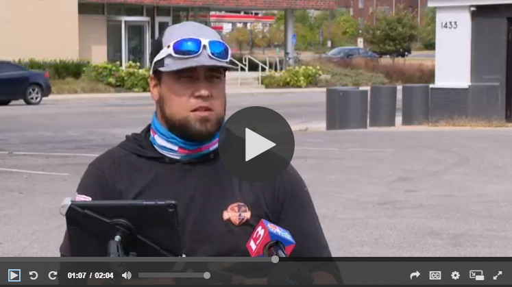
13-WTHR Online Article and TV News Story “IndyGo tests accessibility for future public transit lines with mobility mapping project” (Sept 2020)
“INDIANAPOLIS – By the fall of 2024, IndyGo’s Purple Line is expected to provide some of the city’s most distressed neighborhoods along the East 38th Street corridor and northward with better access to jobs, groceries and safe travel…”
IndyGo’s Purple Line will connect Lawrence with downtown Indianapolis.
Briometrix’s mobility mapping project provided data for better development decision-making.
Our team tested accessibility along the future Purple Line, by assessing the routes to each bus stop and determining which areas of the Line’s corridor work well and which had sidewalk problems that needed to be addressed to make the Purple Line a success.
City of Townsville, QLD (2019)
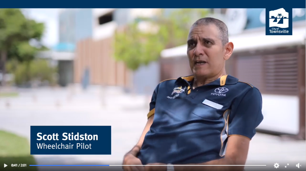
Hear from our wheelchair pilots on the first mapping project in Townsville (click image for link, opens in facebook to play Council’s video)
Townsville City Council is committed to providing infrastructure that is accessible by all.
Starting in 2019, Council leaders determined a year-by-year program to expand the mobility map across the city continuously.
Each year, more than 100,000 international tourists visit the northern tropical city of Townsville along with 3 million Australian holidaymakers. Briometrix’s initial mapping project focused on the city’s CDB, aiming to provide residents and visitors a positive experience going to downtown venues.
Wheelchair Research (2017)
At Victoria Park (in Sydney, near University of Sydney) Briometrix engineers analysing the effects of gradient, crossfall, surface condition and roughness related to human propulsive effort (Wheelchair Pilot is Jason Jones)
This video was made during testing of our first wheelchair motion data recorder.
Attached to the wheelchair, the recorder creates a synchronized log of the wheelchair’s position, orientation, and motion. This data is processed further to provide information about the terrain (eg gradient and crossfall) and the pathway conditions (eg surface type and roughness) and to analyze how these factors impact on the performance of the pilot’s propulsive force and on the wheelchair itself.