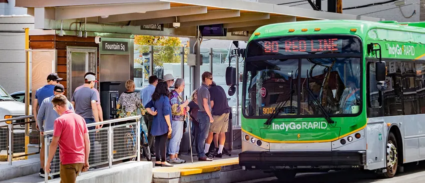
Our footpaths are under pressure
Footpaths are the lifeblood of our towns and cities, connecting us to work and play. But they face new challenges: catering for dramatic shifts in lifestyles and modes of work, the evolution of active and micro-mobile travel and explosive growth in post-pandemic footpath usage.
Briometrix leads the way in bringing your footpaths into the future


Brio Maps open up your city
Brio Maps are colour-coded map for effort, connectivity and navigation – driving increased awareness of viable routes, usage and confidence in the footpath network. Brio Maps help users of all abilities get out and about in their city.
Briometrix leads the way in getting cities moving.

Taking the pulse of footpaths
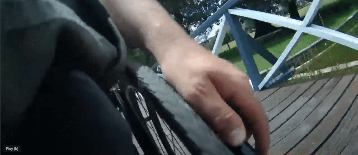
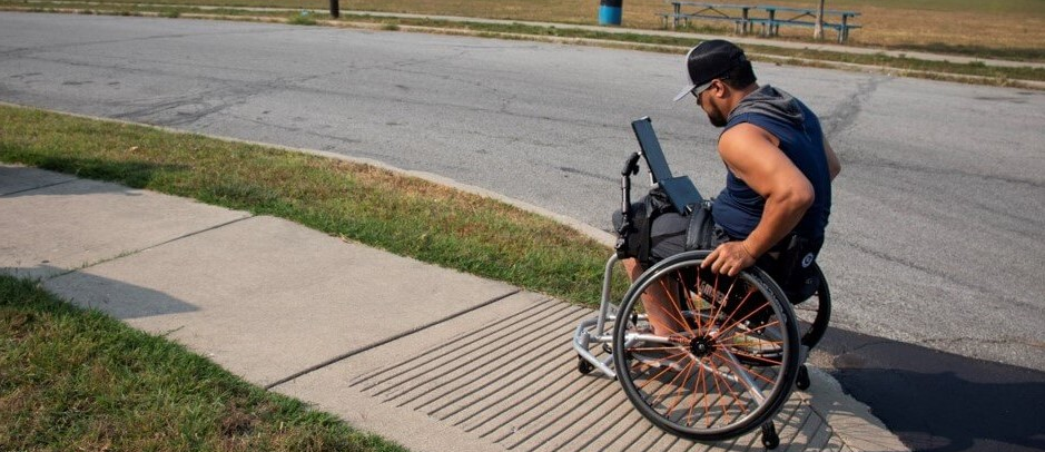
We need to know more about navigating our footpaths. Travellers want maps, delivery services want the best routes for their riders and robots, councils want to reduce the risk of litigation caused by trip hazards and people with limited mobility want the confidence to get out and about.
We provide quality, comprehensive datasets to enhance your current asset information.
Data that creates powerful conversations
…and better decisions
Whether that is achieved by enhancing your existing datasets, publishing a Brio Map or informing better decisions in the Engineering and Works department, our rich and detailed data leads to more inclusive, more accessible and better connected communities.

“Where other accessibility maps rely on topographical data, Briometrix evaluate the routes metre by metre, considering gradients, surface, cross-fall, barriers, and the effort required by wheelchair users – everything that affects the difficulty of a route.”
Professor Robert Gorkin – Smart Infrastructure Facility, University of Wollongong.
Briometrix solutions
Brio in action
Discover Brio perspectives, client stories and pilots as we take the footpath into the future.